10 BEST Hikes in Pagosa Springs, Colorado 2024 (By A Local)
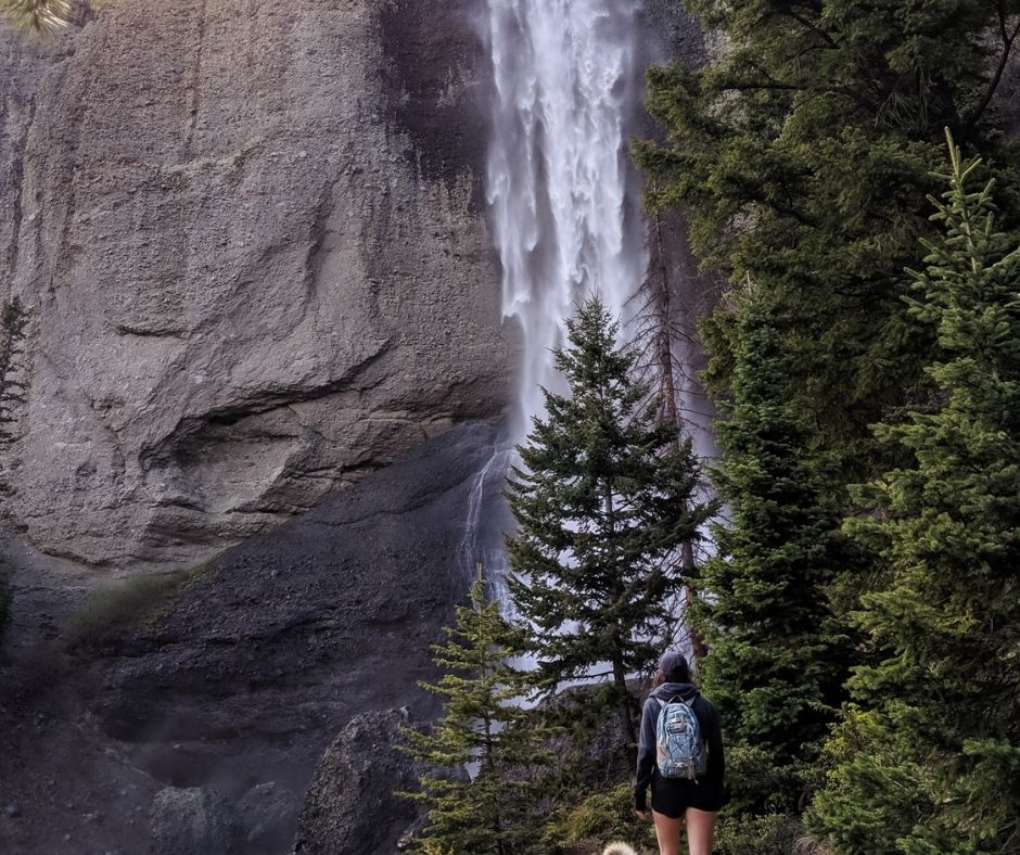
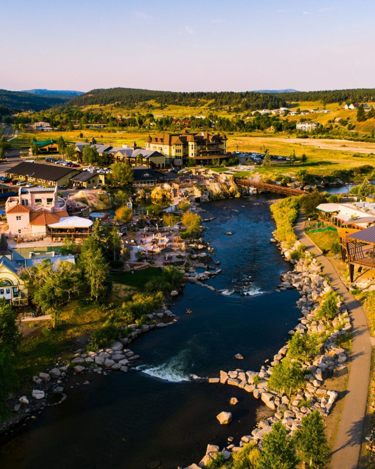
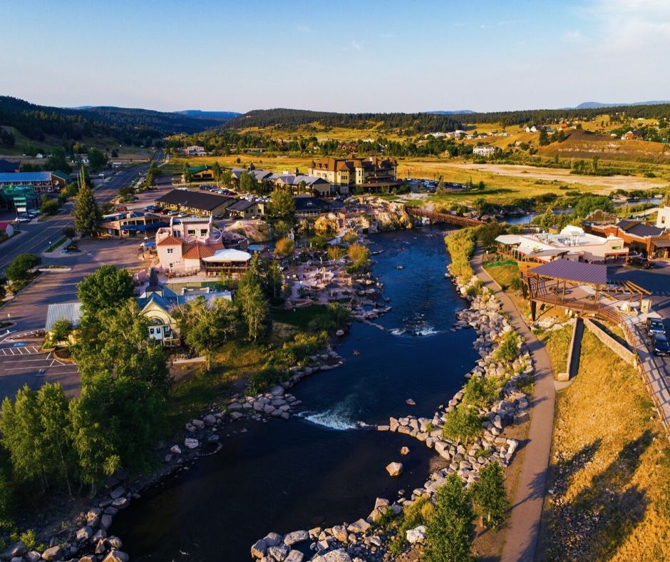
Pagosa Springs has been my home since I was a teen, and it’s where I fell head over heels for hiking. I’ve had the chance to explore some of the most breathtaking trails southwest Colorado has to offer.
In this post, I’m sharing the best hikes in Pagosa Springs that let you experience a bit of everything. You’ll get to see the rugged peaks of the iconic Rocky Mountains, stunning waterfalls, bright blue alpine lakes, and even hidden hot springs scattered throughout the valley.
This guide will give you all the deets, including how to find the trailheads (pictures included!). I’ve also added in important stuff like trail distance, elevation gain, and what to bring so you’re ready for an epic high-altitude adventure.
And, for fellow adventurers who like to plan ahead (I see you), I’ve included a downloadable map to all the hikes in the area.
Looking for More things to do in Pagosa Springs? Check out these Guides!
Table of Contents
ToggleBest Hikes in Pagosa Springs, Colorado (2024)
1. Piedra River Trail + Ice Cave Ridge
- Trail Length: 11-miles out-and-back
- Elevation Gain: 725 feet
- Difficulty: Moderate
- Trail Traffic: Heavy Use
- Trailhead Directions: 37.43026, -107.19415
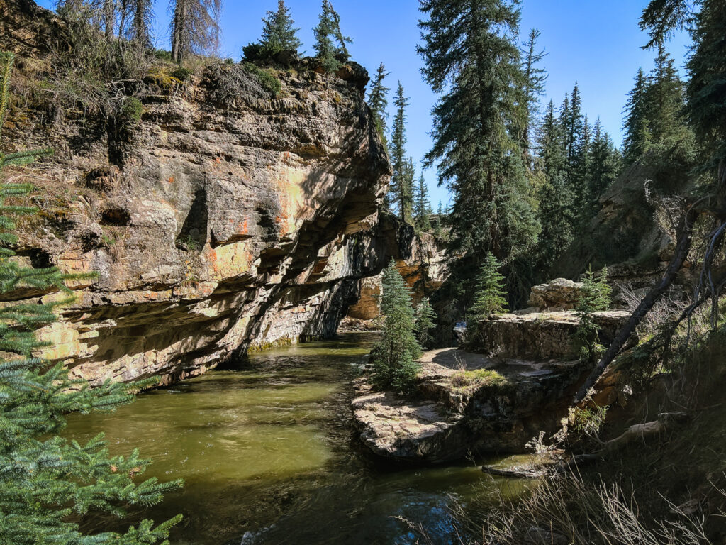
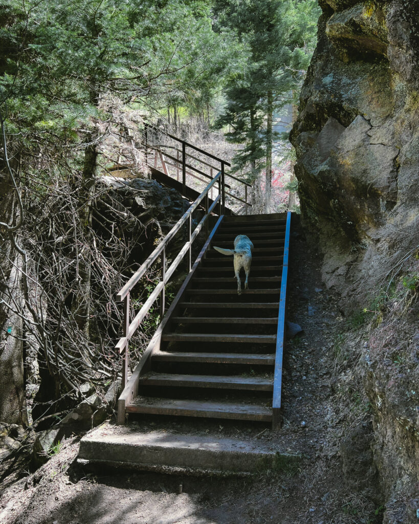
First on my list of best hikes (and for good reason) is Piedra River Trail. This hike is undoubtedly one of the best hikes in the area for its unusual descent through a box canyon. Then, the trail winds through the forest and emerges at the base of the valley.
Plus, the trail parallels the river so if you got a pup who LOVES the water (like ours) you can stop for a swim break!
Piedra River Trail is an out-and-back trail, so you can choose how far you want to go—up to 11 miles one way. This is a popular spot, so for a smoother experience (and to avoid feeling like part of an ant hill!), aim to get to the trailhead before 10 am to snag some parking.
And if you are lucky, you might stumble across the river otter that lives in the area!
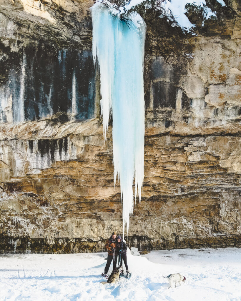
In the winter, Piedra River Trail is one of my favorite hikes to snowshoe (see picture below). Along the river, a massive icicle forms creating a truly impressive sight.
How to get to Ice Cave Ridge:
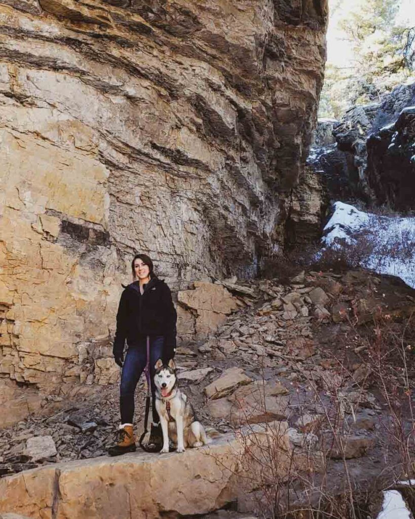
Located on a different portion of the Piedra River trail is the ice caverns. To find them, follow the same directions to Piedra River trail, but when the trail forks after about 100 yards, stay to the right and you will find the geological feature known as the Ice Caves which is over 25 ft deep and 25 ft long.
Directions to Piedra River Trail:
To get to the Piedra River Trail from Pagosa Springs, you’ll head North onto Piedra Road (County Road 600/Forest Service Road 631). Continue on Piedra Road for about 15.5 miles. Once you cross the small bridge, the parking lot for Piedra River trailhead is on your left. The whole drive should only take you around 35 to 40 minutes and it’s just under 23 miles in total!
Thinking of visiting Pagosa Springs in the Winter? Read our complete guide to the most Epic Winter Activities in Pagosa Springs.
2. Coyote Hill Loop Trail
- Trail Length: 3.6- mile loop
- Elevation Gain: 300 ft
- Difficulty: Moderate
- Trail Traffic: Heavy Use
- Trailhead Directions: 37.33278, -107.12576
Coyote Hill is a local favorite that is awesome to hike year-round!
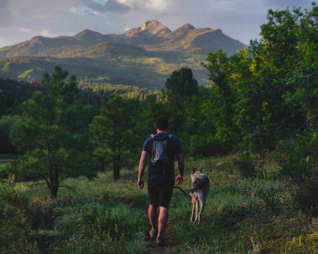
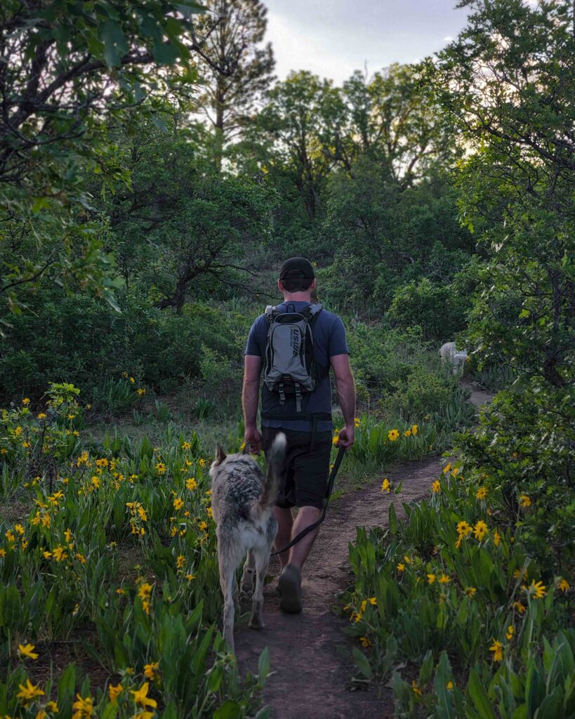
What I love about Coyote hill is that it provides hikers with an easy, low-elevation loop trail that has an epic view of Pagosa Peak, (the tallest peak that can be seen from Pagosa Springs at 12,640ft!) Plus, it you get to walk through ponderosa pine forests, and lush green open meadows blooming with wildflowers in the summer.
This 3.6-mile hike, at just 300 feet of elevation gain, is a great trail for anyone visiting who wants to experience the outdoors without too much effort. And its a good first hike to start with if you are just getting acclimated to the elevation of Pagosa Springs.
Want the best views of Pagosa Peak? Do this loop hike clockwise!
Directions to Coyote Hill Loop Trail:
To get to the trailhead, drive north on Piedra Road (CR 600/FS 631) from Highway 160 for 6.5 miles. The trailhead is just past the cattle guard on the right hand side where the road turns from pavement to gravel. The trailhead is marked with a small sign and there is a large parking area.
3. Pagosa Peak
- Trail Length: 11.1 miles out & back
- Elevation Gain: 3,930 ft
- Difficulty: Hard
- Trail Traffic: Moderate Use
- Trailhead Directions: 37.44361, -107.06698
They say you’re not really a local until you’ve hiked Pagosa Peak.
Plus, if you’re a hiking enthusiast, there’s nothing quite like challenging yourself to reach the summit of this 12,640 ft peak—the tallest mountain in the San Juan Mountain Range. Once at the top, you’ll get a whole different perspective of the town’s most impressive peak (and a birds-eye-view of Pagosa Springs and the rocky mountains).
And although I haven’t hiked Pagosa Peak since I was 14 years old, I still remember that the hike itself is quite difficult because there are no switchbacks. It’s a steep vertical trail, where you are basically climbing straight up the side of the mountain—not for the faint of heart. On this hike, you gain almost 4,000 vertical feet, and the rapid gain in altitude can make summiting a bit of a challenge. Most people can make it to the peak in about 2-4 hours.
If you plan to hike Pagosa Peak in the summer (from May until September) hit the trail early, so you avoid rain and thunderstorms during monsoon season.
Directions to Pagosa Peak Trailhead:
To get to the Pagosa Peak Trail from Pagosa Springs, you’ll head North onto Piedra Road (USFS 631). Continue on Piedra Road for about 15 miles. Turn right on to McMannus Rd (USFS 633) for 3 miles. You may want to park here if you do not have a high clearance 4×4 vehicle. If you do, you can turn right again on Forest Service Rd 634 (and shave off about 2 miles).
Are you new to hiking? Check out our Hiking Guide for Beginners.
Pagosa Springs Waterfall Hikes
If you love waterfalls as much as we do, you are in luck, my friend. Pagosa Springs is the land of waterfalls. Add one of these four incredible destinations to your list of hikes to do when you visit!
4. Treasure Falls
- Trail Length: 0.6-mile loop
- Elevation Gain: 196 feet
- Difficulty: Easy
- Trail Traffic: Heavy Use
- Trailhead Directions: 37.44262, -106.87718
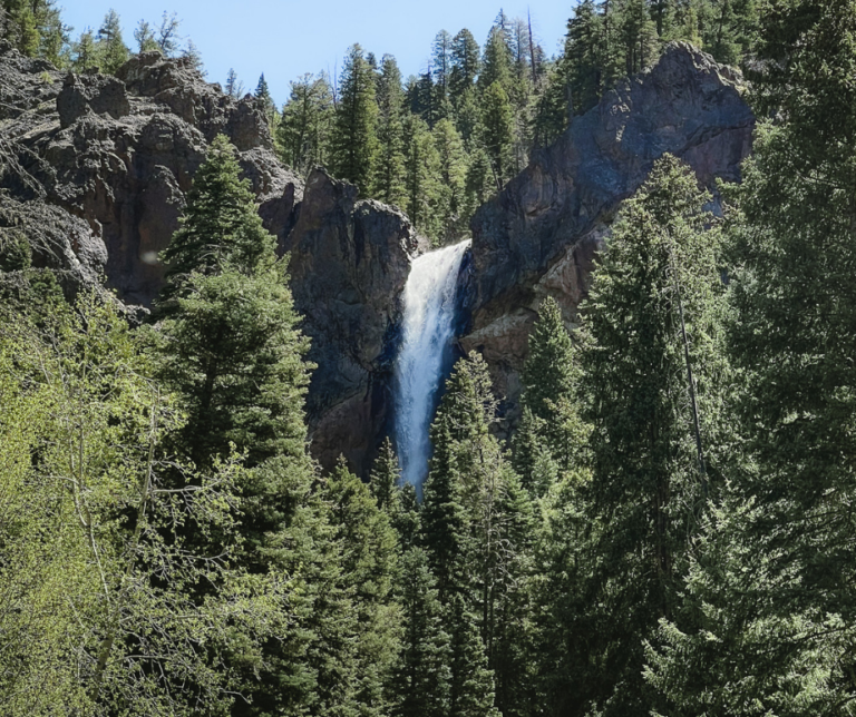
In the spring when the snow beings to melt in the high country, Falls Creek swells with water, showcasing a stunning 105-foot waterfall. Treasure Falls Hike is by far the easiest waterfall to access on this list, so if you’re looking for a short hike near Pagosa Springs with minimal driving time, I would definitely consider this trail.
You can either tackle this trail as an easy out-and-back by taking the main trail, or you can make it a loop and attempt the primitive trail, where you will cross the bridge and meander your way back down the switchbacks on the main trail. Either way, be sure to stop at the misty deck located at the base of the falls and watch the water cascade down the granite rock face.
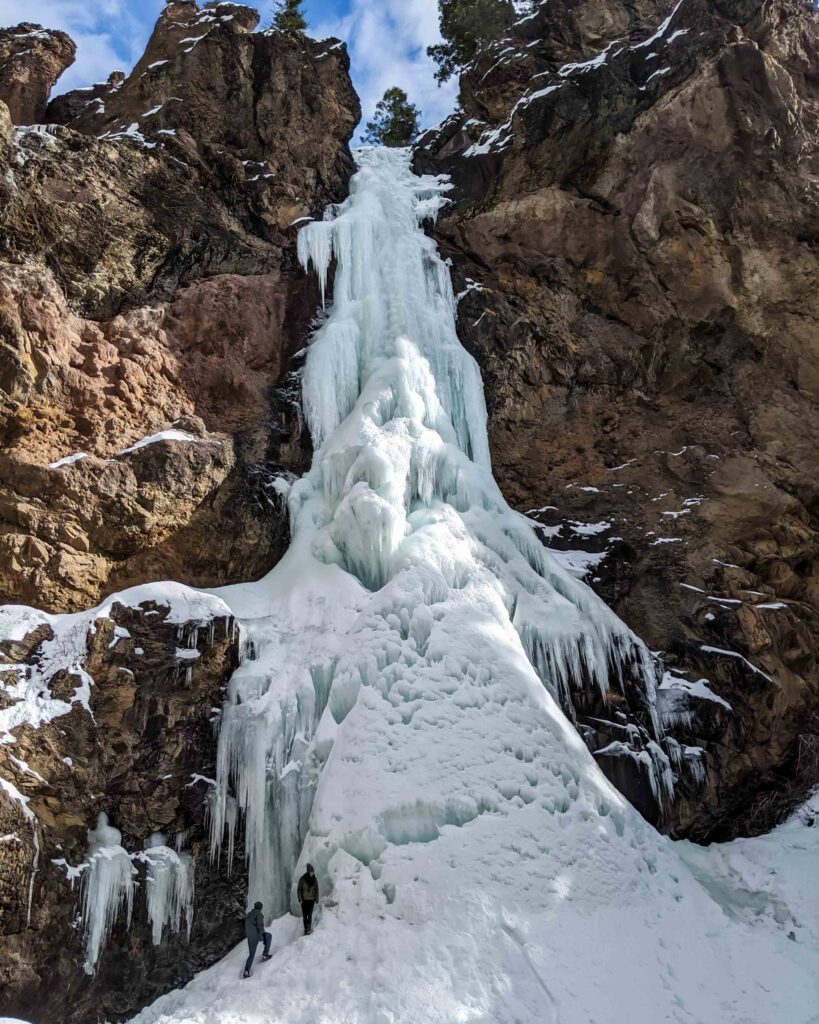
If you decide to hike this trail in the winter, make sure you’re wearing hiking shoes with good traction. We even added some microspikes (like these ones) to our shoes because it is a high trafficked, packed-snow hike with a few icy patches. Absolutely stunning to see treasure falls frozen (pictured below).
For more detail about how to hike this trail and learn about the legend of Treasure falls, check out our detailed post about this breathtaking hike to Treasure Falls in Pagosa Springs.
Directions to Treasure Falls Trailhead:
Head towards Wolf Creek Pass on Highway 160 for 22 miles. The parking lot for the trail sits right off the road on the right. You can either enjoy the view of the waterfall from the road, or you can take a short hike up to the misty deck.
Visiting this winter and looking for things to do? Check out our complete guide to Winter Activities in Pagosa Springs.
5. Silver Falls
- Trail Length: 0.4 miles out & back
- Elevation Gain: 164 feet
- Difficulty: Moderate
- Trail Traffic: Heavy Use
- Trailhead Directions: 37.41948, -106.78325
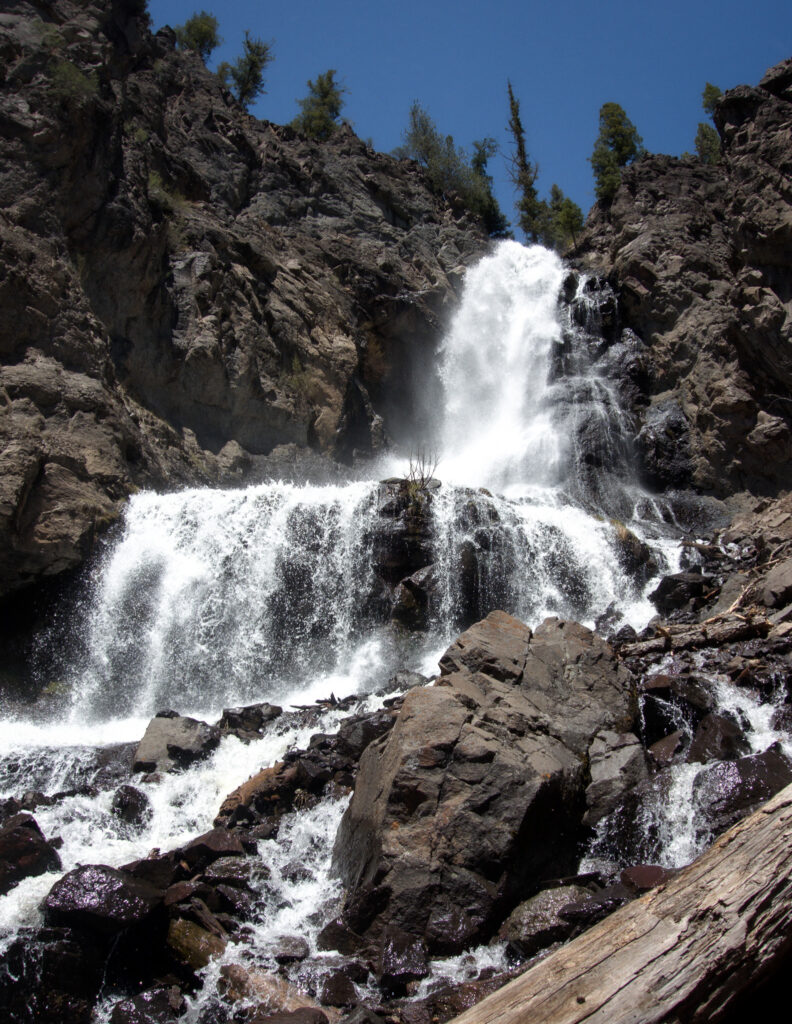
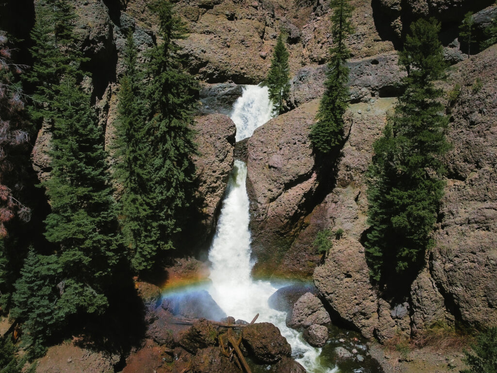
Another amazing hiking trail near Pagosa Springs is Silver Falls. It’s a waterfall that drops down in two parts over a big rocky cliff, and it’s really something to see. (I actually tore my ACL here back in 2018, but that’s a story for another day).
This waterfall is hidden way out in the quieter parts of the San Juan National Forest. Not many people get out there because the road is pretty rough.
The hike to get there is short, just under half a mile through a forest full of evergreen trees. Pretty much anyone can do this hike, but, just a heads up, the last bit to get to the waterfall is a bit steep. Wear good shoes because the ground has loose gravel, and near the falls, the rocks get slippery from the water spray.
Directions to Silver Falls Trailhead:
The road to get to Silver falls is very rough and requires a high clearance vehicle. As you head down 160 on your way to Wolfcreek, for 12 miles you will take a right down East Fork Rd for 45 minutes. The trailhead is very poorly marked but will be on your left after you see the cabin in the trees which is an old guard station.
6. Piedra Falls
- Trail Length: 1 mile out & back
- Elevation Gain: 108 ft feet
- Difficulty: Easy
- Trail Traffic: Heavy Use
- Trailhead Directions: 37.47901, -107.10199
Hiking to Piedra Falls is hands down one of of my favorite hikes, because the drive to get there is just so scenic. Piedra falls is a super short hike that takes you to a 100-ft waterfall that plummets into a turquoise pool below (and makes a refreshing swimming hole in the heat of summer).
I’ve been to this waterfall too many times to count, but it’s the fall colors and the scenic drive that make it a must-do every year.
Plus, it’s super convenient for days when we’re showing family around and feeling ambitious and we want to do more than one hike in a day. You can do this hike and the Piedra River Trail since both start off Piedra Road.
To read more about Piedra Falls Hike check out our in-depth guide to this half-mile trail.
Directions to Piedra Falls Trailhead:
To get to Piedra Falls from highway 160, drive North down Piedra Road for 17 miles to the junction at Sportsman campground. Continue on USFS 636 for two miles. Turn right on East Toner Road 637 for 8 miles until you make it to the end of the road. There is a small parking lot where hikers can start the trail.
7. Four Mile Falls
- Trail Length: 8.3 miles out & back
- Elevation Gain: 1,148 feet
- Difficulty: Moderate
- Trail Traffic: Moderate Use
- Trailhead Directions: 37.40956, -107.05267
Fourmile Falls is located in the Weminuche Wilderness and is the most rewarding hike on this list. It is my absolute favorite out of all the waterfall hikes in Pagosa Springs because of the rugged scenery and the effort it takes to get there.
Plus, four Mile Falls was one of the first hikes I did after recovering from ACL surgery in 2018!
This 8.3-mile round trip is both challenging and rewarding, weaving through dense forests and open meadows before climbing up to a 100-foot waterfall crashing down its rocky base. It’s a bit of a workout, especially with some steep climbs on uneven terrain, but reaching the falls and soaking in that view was a huge milestone for me post-surgery. It’s an experience I’d recommend to anyone looking for a bit of adventure and epic backcountry beauty.
The best time of year to do this hike is in late spring and early summer when the snow is still melting from the high country. Expect to spend 4.5 hours on this Pagosa Springs hiking trail.
Directions to Fourmile Falls Trailhead
From downtown Pagosa Springs, turn north (left) onto Piedra Street. Continue on Piedra Street as it turns into Fourmile Road (USFS 645). You’ll stay on this road for about 11 miles. The road will lead you directly to the trailhead parking area. As you get closer, keep an eye out for signs pointing towards the Fourmile Falls Trailhead (you can’t miss it!) The drive from Pagosa Springs to the Fourmile Falls Trailhead takes around 20 to 30 minutes!
Best Hot Springs Hikes in Pagosa Springs
What’s better than a hike to a free natural hot spring? Not Much! Here is a list of our favorite Pagosa Springs’s hot springs in the valley!
8. Piedra Hot Springs
- Trail Length: 3.6 miles out & back
- Elevation Gain: 708 ft
- Difficulty: Easy
- Trail Traffic: Moderate Use
- Trailhead Directions: 37.30287, -107.33613
Free hot springs soaking in the San Juan Mountains? Yes, please!
Piedra River Hot Springs, also known as Sheep creek hot springs is a free, natural hot spring located in the San Juan National Forest west of Pagosa Springs on the bank of the Piedra River.
There are no facilities or amenities, and visitors must be comfortable with hiking a short distance and sharing the space with others (potentially nude). The hike is relatively easy, but wear sturdy shoes and be prepared for uneven terrain.
You can also camp there if you want, further down the trail is a backcountry campsite where you can pitch a tent and enjoy soaking under the stars!
The best time of year to enjoy these hot springs is mid to late summer. If you go too early in the summer, you will find that the river is too high and has flooded the hot spring. The temperature of the springs can be anywhere from 89-107 degrees.
Please DO NOT add anything to the water. This is NOT your bathtub. Soaps ruin the natural minerals in the pools, so leave the shampoos at home!
Directions to Piedra River (Sheep Creek) Hot Springs Trailhead
Piedra River Hot Springs are located west of Pagosa down highway 160, about 20 miles. Take a right on First Fork Rd (USFS RD 622). Then, drive down the dirt road for 6.7 miles until you reach the parking lot for Sheep Creek Trailhead. It’s about 1.5 miles to get to the hot springs from there.
Want to visit more hot springs in Pagosa Springs? Check our complete guide to visit all the Free Hot Springs!
9. Rainbow Hot Springs
- Trail Length: 10-miles out & back
- Elevation Gain: 1,637 ft
- Difficulty: Moderate
- Trail Traffic: Moderate Use
- Trailhead Directions: 37.50917, -106.94733
I am always on the lookout for hidden gems in Colorado’s great outdoors and Rainbow Hot Springs makes the cut. In addition, it is also one of the best free hot springs to visit. Secluded deep in the Weminuche Wilderness, this trail takes you to a remote hot spring location, perfect for a relaxing soak after a big 10.2-mile hike.
For the majority of the hike, you will be making your way through a valley that was scorched in the 2013 wildfire that left its mark on the land. There are also a few bridge crossings before the trail veers off to the left and you will find the hot spring situated on the bank of the river.
Be aware that the first part of the trail is located on private property, so please be respectful of their land.
Directions to Rainbow Hot Springs Trailhead
Take Highway 160 Northeast towards Wolf Creek Pass for 15 miles. Turn left for West Fork Campground (CR 648). Drive for 7 miles until you reach the west fork trailhead parking lot.
Looking for EPIC things to do besides hiking? Find out the 20+ best things to do in Pagosa in the summer in our detailed locals guide!
10. Opal Lake Trail
- Trail Length: 2.4 miles out & back
- Elevation Gain: 488 ft
- Difficulty: Easy
- Trail Traffic: Moderate Use
- Trailhead Directions: 37.20411, -106.76259
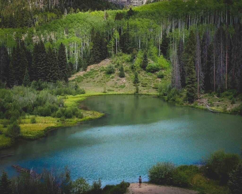
Opal Lake is our absolute favorite spot in the south San Juan Wilderness to hike in the fall! Here, you’ll find a strikingly beautiful milky green-blue-alpine colored lake surrounded by mountains and SO MANY aspen trees. These trees are absolutely gorgeous in the fall when they turn golden.
The hike itself is super short—it’s only 1.2 miles long and has a gentle elevation gain of 488 feet, making it doable for anyone.
Directions to Opal Lake Trailhead
Opal lake is located in the south San Juan wilderness roughly 30 minutes from downtown Pagosa Springs.
In order to reach the trailhead from Pagosa, You will need to head south on Highway 84 for 8 miles. At Blanco Basin Road (CR 326), turn left. This is a relatively well-maintained dirt road. Drive for 9.5 miles and turn right on to FS 660 (castle creek road) and the signs for Opal Lake. Continur on 3.3 miles to FR 023 (Opal lake road) take a right for .7 of. a mile until you reach the trailhead. Take care when driving on this road as it can be narrow and winding in places.
There is parking for plenty of vehicles, but it can get busy in the summer because this is a very popular hike.
11. Continental Divide Trail
- Trail Length: 5 miles out & back
- Elevation Gain: 885 ft
- Difficulty: Moderate
- Trail Traffic: Moderate Use
- Trailhead Directions: 37.49138, -106.80022
Once you’re acclimated to the elevation of Colorado, another hike you can do is the Continental Divide Trail at the top of Wolf Creek pass. This high-elevation trail starts near Lobo Overlook and takes you through gorgeous alpine tundra.
Since this hike is part of the Continental Divide Trail that covers over 3,000 miles, there is no real “destination.” But you can hike to Rock Lake which is about 4.5 miles from the trailhead.
Also, just so you know, this hike starts really high up, over 11,000 feet! It begins with a bit of downhill, which feels easy and nice. But remember, what goes down must come up. The hike back is ALL uphill.
Directions to the Continental Divide Trailhead:
To get to the trailhead take Highway 160 up to Wolf Creek Pass. Take a left on USFS RD 402. This road will take you all the way to the top of Lobo Overlook and the CDT. To find the trailhead, look for the cell tower. The hike starts where the trailhead sign-in book is.
Map of Pagosa Springs Hikes
Pro Tip: Save this map for later so you can access all the hikes in the area quickly and easily before your next adventure!
Pagosa Springs Hiking Tips
🏔️ Altitude sickness is a real thing: If you are visiting from low elevations (especially sea level) make sure you spend at least 48 hours acclimating before setting out on your hike (check out my list of other things you can do in Pagosa Springs while you adjust to the altitude).
☀️ The sun is strong at high elevations: I recommend always wearing sunscreen when you plan to be outside for long periods of time.
⛈️ Watch out for afternoon thunderstorms: Colorado is known for afternoon rain storms in the summer. Set out on any hikes that have a lot of exposure EARLY, thunderstorms can roll in super quickly.
🍃 Be sure to follow Leave No Trace principles: do your part to help preserve Pagosa Springs’s beautiful trails for years to come.
What to Bring on your Hike
You don’t need to pack much for these Colorado hikes, but there are some important things to remember. Check out our more detailed list of what to Pack for a Day Hike.
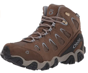
- Hiking Boots: Bring a pair of comfortable hiking boots. I wear my Oboz on all of my Pagosa Springs hikes.
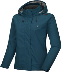
- Layers: planning a trip to Pagosa Springs, it’s important to know that the weather can change drastically in just a few hours. You might set off on your adventure in the morning with clear skies, but by afternoon, a rainstorm can quickly move in. Make sure to pack a rain jacket.
- Water Bottle: Fill a water bottle or Nalgene. You will want to make sure you stay hydrated to avoid getting heat exhaustion or altitude sickness.
- Sunscreen + Bug Spray: Since Pagosa sits at over 7,000 ft in elevation, you will want to bring sunscreen so you don’t burn to a crisp. Those high elevation hikes can expose you to more sun than you think! Pack bug spray to keep mosquitos at bay.
- Camera: You’ll definitely want to remember Pagosa’s epic scenery. Check out the camera we currently use on all our hikes.
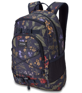
- Backpack: Make sure you have a backpack to carry everything on this list!
Hiking in Pagosa Springs
So there you have it, the best hiking in Pagosa Springs according to a local. I hope this post helped you figure out exactly what hikes you want to do when you visit. Let me know what hikes you do, and which ones were your favorites!






Just returned from a vacation to Pagosa Springs in which we hiked on 3 trails that Nicoll posted in her top 10. Her insight to these trails made for an amazing experience. Our hikes were the Four Mile Falls, Piedra River Trail and Ice Caves and Coyote Hill Loop. Her descriptions were very helpful and we had a great experience on each of them. I can’t speak for the other trails on this list, but based on Nicoll’s information, I would say she is spot on!
Thank you so much Brent for the kind comment! I’m so glad my guide was helpful and that you had a fun time on your visit to Pagosa Springs.