5 Most Beautiful Hiking Trails in Sedona Arizona + A Secret Cave!
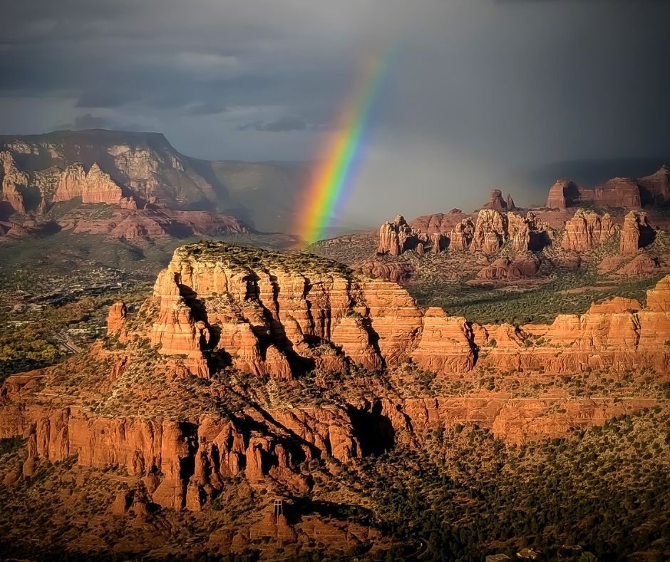
Table of Contents
ToggleBest Sedona Hiking Trails
Post Summary: Everything you need to know about the best hikes in Sedona
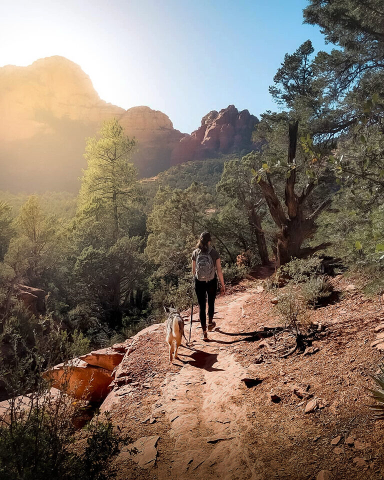
Sedona has become well known for its incredible natural beauty and energy vortexes. Many visit Sedona to hike among the red rocks and scenic canyons.
Want to learn everything you need to know about the 5 most amazing hikes in Sedona? We’re about to share with you the BEST hikes, (and one secret hike) in Sedona, Arizona.
All of these hikes will blow your mind. The beauty of Sedona’s red rocks is hard to describe, and hiking is the best way to see it all! We always end up finding cool caves, arches, and magical pools. We don’t want you to miss out on these epic Sedona hikes, so read on to get inspired on your next trip to Sedona!
5 Best Hiking Trails in Sedona
- Soldier Pass Trail
- Bell Rock
- Robbers Roost Cave
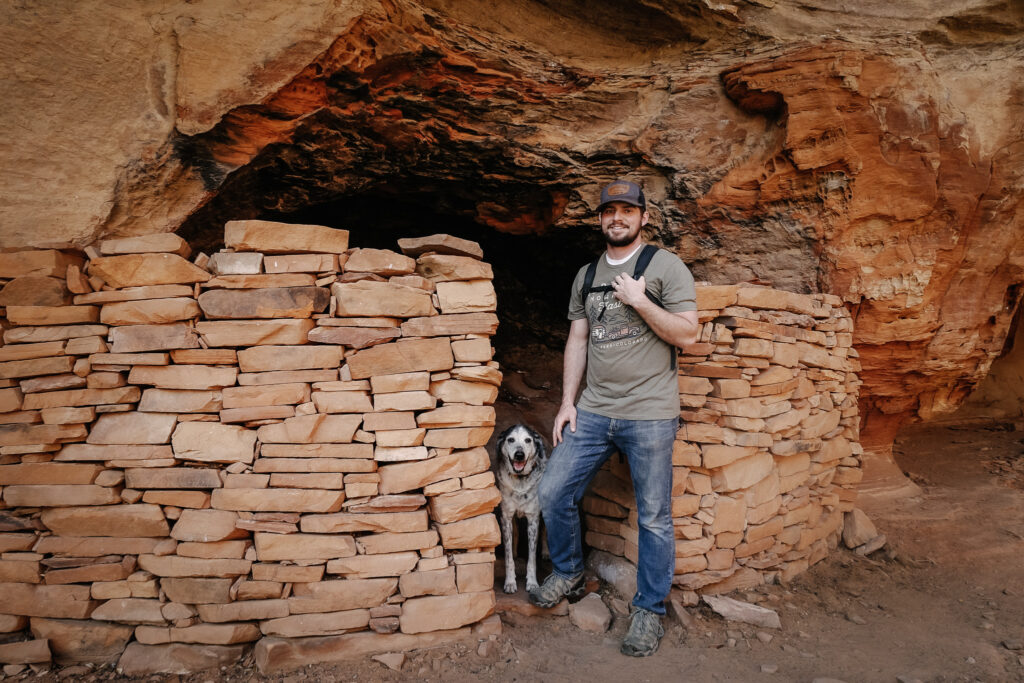
- Loy Canyon Ancient Ruins
- Devils Bridge
- Secret Cave Hike
1. Soldier Pass Trail
- Trail Length: 4.5-miles out-and-back
- Elevation Gain: 650 feet
- Difficulty: Moderate (Difficult when climbing up into the cave)
- Trail Traffic: Heavy Use
- Trailhead Location: All Trails Map
Soldier Pass Trail
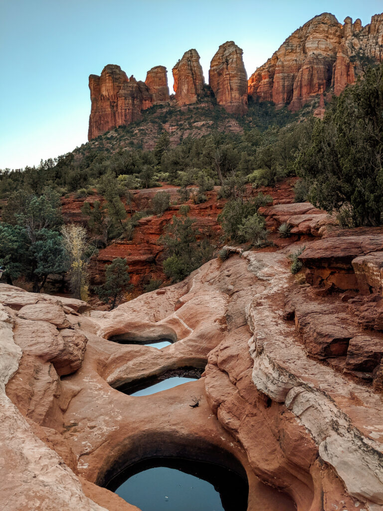
Soldier Pass Trail is one of the most popular hikes in Sedona and one of my absolute favorites because it has so many scenic stops along the way like the Devil’s kitchen Sinkhole, Seven Sacred pools, and the Soldiers Pass Cave.
The only downside is the Soldiers Pass trailhead parking has only 15 parking spots and you will most likely have a hard time finding a place to park (there is NO parking allowed in the neighborhood). Open 8am to 6pm, we recommend getting there early, or you might have to park 2 miles down the road, at the dog park which adds extra walking to your hike.
Be sure to stop at each of the following scenic stops along the trail:
Devil's Kitchen Sinkhole
Just ¼ a mile down soldier pass trail is the first stop on the hike called Devil’s Kitchen sinkhole which is exactly what it sounds like! It’s a massive sinkhole that has most recently collapsed in 1995. Sinkholes are most commonly created when rainwater dissolves the limestone beneath the surface, and the caves that are slowly created collapses suddenly.
Seven Sacred Pools
How do you get to Seven Sacred Pools In Sedona? Continue down Soldier Pass trail and once you emerge from the trees, the iconic Seven Sacred pools will be on your left.
Our first time on this hike we actually walked right by the pools, not even realizing they were there! On our way back, we found them and were pleasantly surprised.
The sun had just set behind the red rocks in the distance and made for some beautiful photos of the pools.
How long is the hike to Seven Sacred Pools? It is 1.1 miles from the start of Soldiers Pass to get to Seven Sacred Pools. You gain 108 ft.
Soldiers Pass Cave
Where is Soldiers Pass Cave? Those were our exact words when hiking this Sedona trail because we got a little bit lost at first!
Once you reach the sign that says “Entering Red Rock Secret Mountain Wilderness Area”make sure to pay attention because we missed the trail our first time and walked right past it. The trail to the cave will be a right towards the cliffs.
Once you get to the cliffs, walk around the right side and there is a way to get inside.
2. Hiking Bell Rock Loop
- Trail Length: 1.5 mile loop
- Elevation Gain: 700ft
- Difficulty: Moderate
- Trail Traffic: Heavily
- Trailhead Directions: All Trails Map
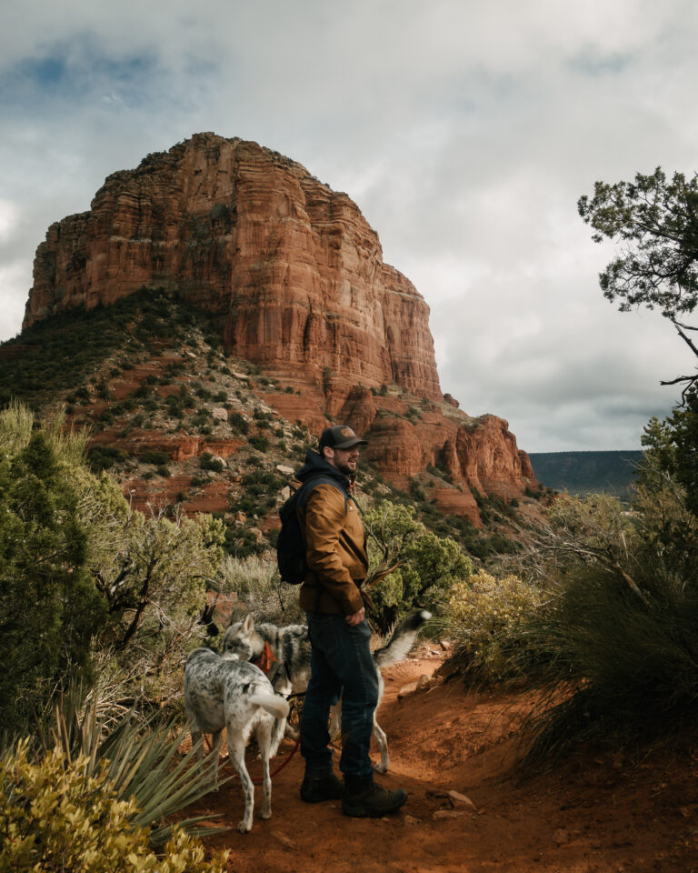
The iconic Bell Rock formation is named after it’s unique “bell-like” shape and is just a short drive from Sedona down hwy 179. You will need a red rocks pass for this hike which is $5.00 for the day.
How Long is the Bell Rock Loop Trail in Sedona? Bell rock Trail loop is about 3 miles round trip from Bell Rock Trailhead 1 and takes you around bell rock where you will also be able to see Courthouse Butte. But, there are so many different ways you can explore this area.
Can you Get to the Top of Bell Rock? At 4,919 ft, hiking to the top of bell rock is a hazardous climb and very few reach the actual summit because there is no marked trail. But it is possible to climb up the spires and it’s called the final ascent.
Where is the Bell Rock Vortex? Bell rock is known for its natural energies and can be felt the strongest on the North Slope.
3. Hiking to Robbers Roost Cave Sedona
- Trail Length: 3 miles out and back (1 mile if using the 4×4 trail)
- Elevation Gain: 462 feet
- Difficulty: Moderate
- Trail Traffic: Lightly trafficked
- Trailhead Directions: All Trails Map
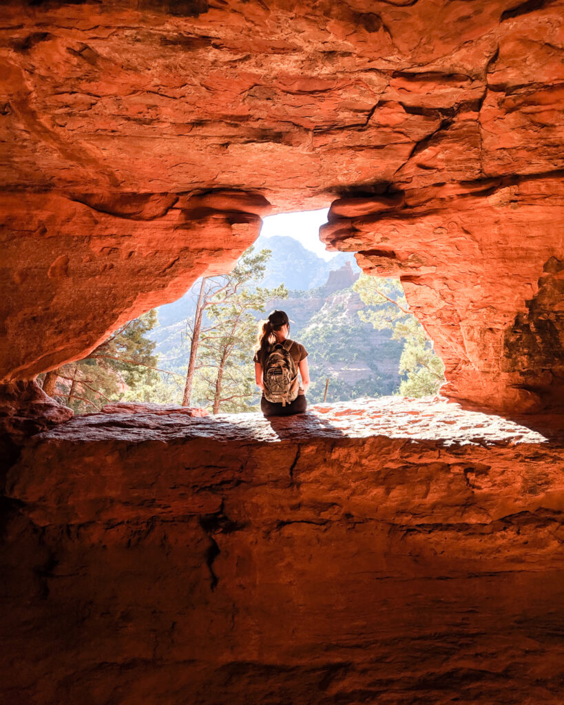
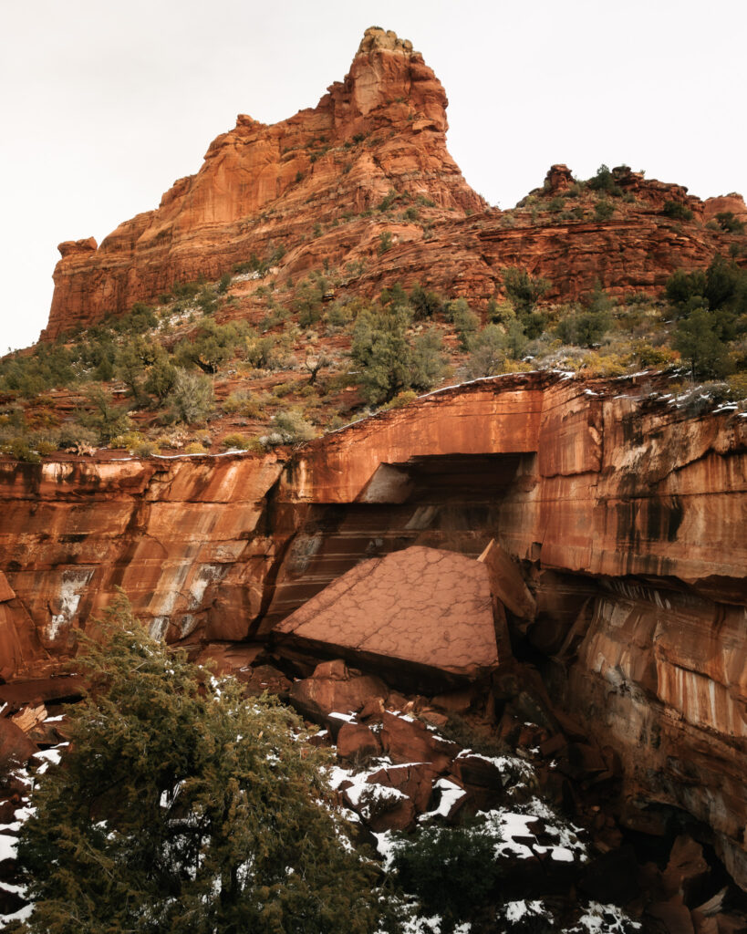
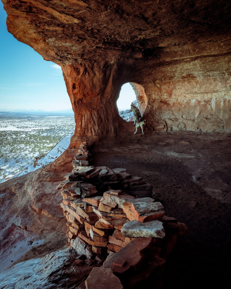
This Sedona cave is top of my list because of how unique the large, open cave is with a natural rock “window” on the side of a cliff, overlooking the landscape with an incredible view.
According to local legend, Robbers Roost (also known as the Hide Out Cave or Shaman’s Cave) was a hideout for bandits and bootleggers. And when you see this cave in person it’s easy to imagine outlaws using it as a hiding place.
How do you get to Robbers Roost in Sedona? To reach the trail, you will turn off hwy 89 onto 525C. Stay left when you see the sign that says “maintained Yavapai Road Ends” and park at the first lot (if you don’t have a high clearance vehicle). The road to get to the trailhead is rough. But, if you have a 4×4 you can make it all the way up to the second parking spot, and it cuts off about 2 miles off your hike.
A moderate hike, the trail is not well-marked and you can’t see the cave from the trail until you make your way around the rock. We decided to hike this trail after it had just snowed and got a little lost, and had to wander around a bit. But luckily, we found it and had the whole cave to ourselves!
Wear proper hiking shoes because before you get to the cave, you will be traversing a steep ledge.. Use caution during this portion of the hike (not recommended to visit after a rainstorm or if you are afraid of heights).
4. Loy Canyon Ancient Indian Ruins Trail
- Trail Length: 5.2 miles out and back
- Elevation Gain: 1300 feet
- Difficulty: moderate
- Trail Traffic: low
- Trailhead Directions: All Trails Map
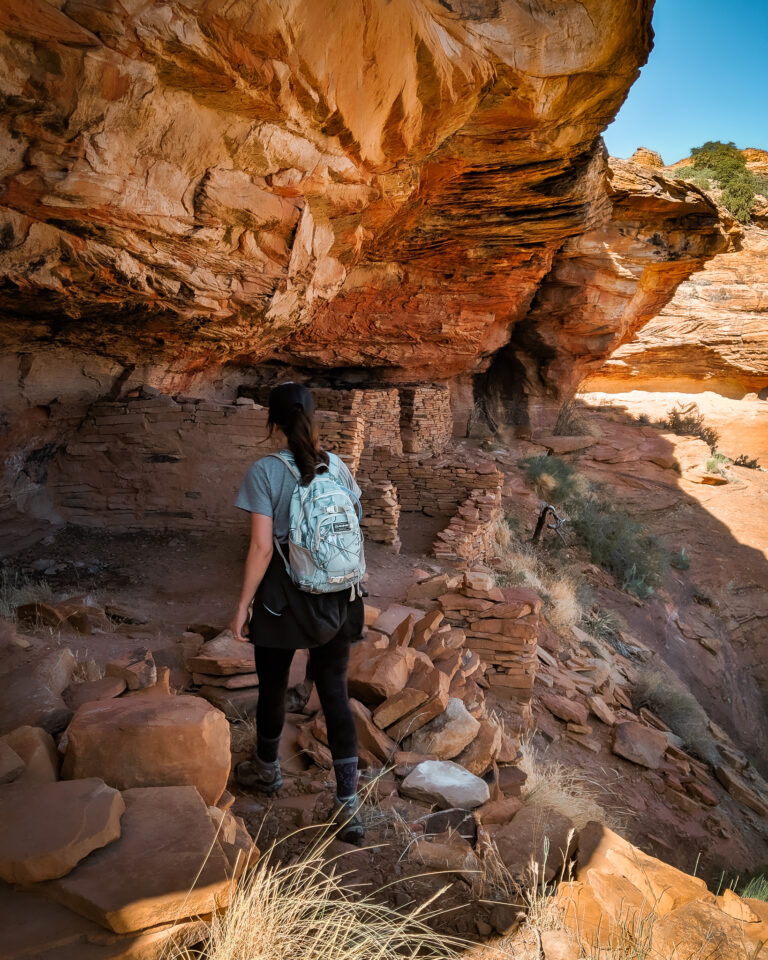
How do you get to Loy Canyon Ancient Ruins? On hwy 89A take FR 525 to get to Loy Canyon Trail. Once on the trail, you will follow the edge of Hancock Ranch on the way to Loy Canyon and then the trail parallels Loy Butte until you see a big, old tree with cut off limbs. That is the turnoff to find the ruins in the cliffside. (It’s hard to miss).
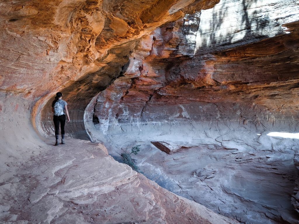
The cliffs block the view making the cliff dwellings nearly impossible to see, but hike up the butte and the ruins will become more visible. We wandered around for a while and found the cliff dwellings to be very interesting.
These ruins are ancient and sacred. Please respect them and preserve these sites by leaving no trace. Do not touch or move the ruins.
5. Devils Bridge Trail
- Trail Length: 4.2 miles out-and-back
- Elevation Gain: 400 feet
- Difficulty: Moderate (if climbing to the top of the bridge)
- Trail Traffic: Heavy Use
- Trailhead Directions: All Trails Map
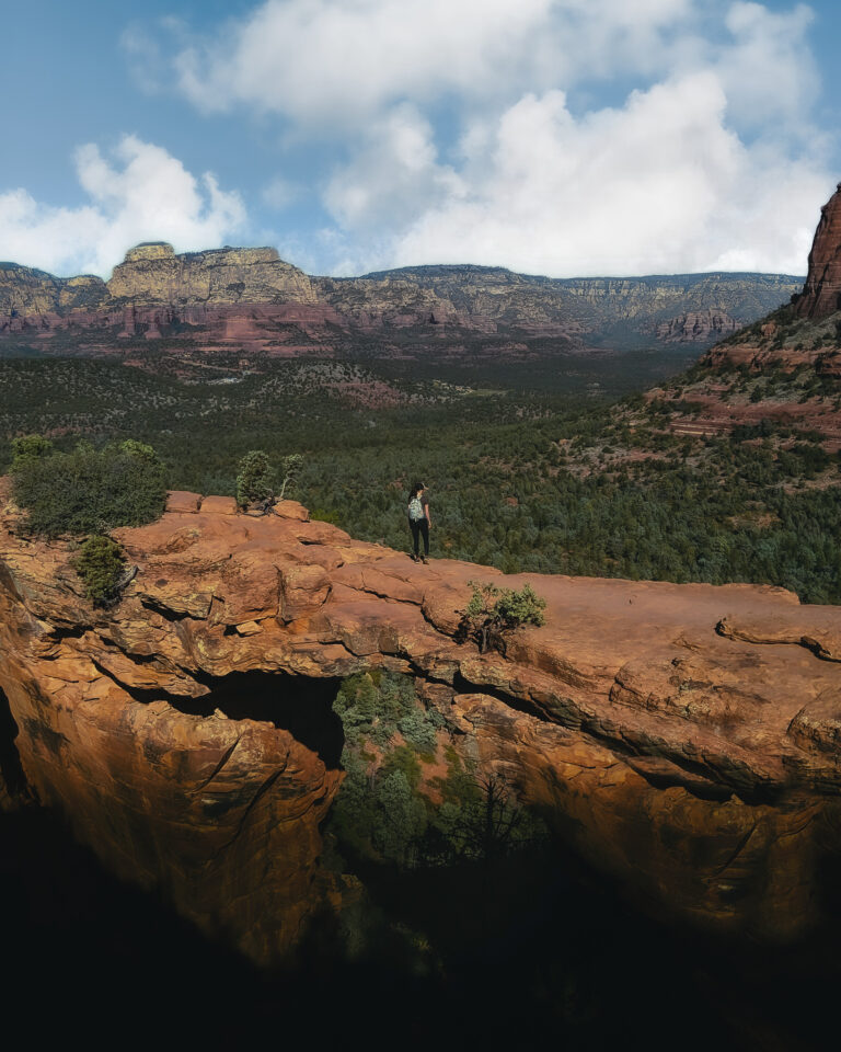
Devils Bridge is the largest natural sandstone arch in the Sedona area standing at 54 feet tall and 45 feet across. This natural rock bridge is one of the most photographed locations in Sedona as it is an iconic trail.
The first part of Devils Bridge trail is an easy, flat trail. As you get closer to the bridge, the trail narrows and gradually climbs until you reach the natural rock staircase. The stairs can look a little intimidating but it is a short portion of the trail and will require you to wait for those who are going up/down.
Once you reach the top, you will most likely wait in line due to the popularity of the natural arch. Getting a photo on top of the bridge can take over an hour but you will have breathtaking views while you wait.
According to the USDA Forest Service, walking on the natural bridge IS allowed, but take caution.
How long does it take to hike Devil’s Bridge? Devil’s bridge trail can be a short hike (about 2 miles roundtrip) if you drive past the paved parking lot and continue down the rocky road to the devil’s bridge trailhead.
If you do not have a high clearance vehicle, you can park at the available paved parking lot (about 5 miles round trip). Expect to walk the longer distance! It should take you about 2-3 hours to complete, depending on how fast you walk, and how long you spend at the natural bridge.
Do you need a red rock pass for Devil’s Bridge Trail? If you park in the parking lot available, it requires a red rock pass, which is $5.00 for the day. If you have a high clearance 4×4 you can bypass the parking lot and park at the trailhead with no fee. But parking is limited (there’s room for 6 or so vehicles).
When is the best time to hike to Devil’s Bridge? If seeing the arch without crowds is your goal, then visit Devil’s Bridge EARLY in the morning.
Tip: Don’t expect solitude. This is a very popular trail, and you will most likely have to wait in line to get a photo on top of the bridge.
Best Secret Cave Hike in Sedona: Subway Cave, Boynton Canyon Trail
- Trail Length: 5.3 Miles out and back
- Elevation Gain: 1,000 feet
- Difficulty: Moderate
- Trail Traffic: Low
- Trailhead Directions: All Trails Map
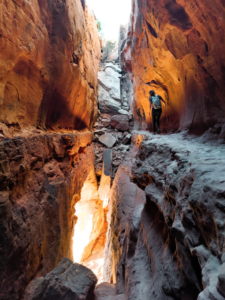
Like most Sedona trails, they are becoming a lot less secret.. But this hike to the cliff dwellings at the secret subway cave was my favorite trail in Sedona.
For this hike, you will need a red rock parking pass, which you can purchase at the trailhead.
How do you get to the Subway cave? This beautiful cave in Sedona was hard to find but worth it. I couldn’t find much info on this trail on AllTrails but after some diligent searching, I got enough details to guide us there.
Once you get to the trailhead, follow the trail to get to Boynton Canyon Vista in Red Rock Secret Mountain Wilderness (the name is fitting, right). You will follow this trail for 2.02 miles from the start of the trail.
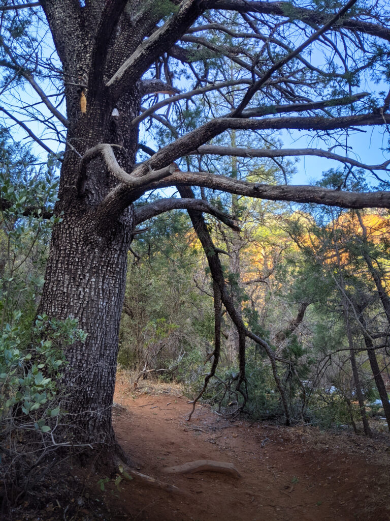
Keep your eye out for the large alligator bark tree tree (pictured), at the tree you will take a right. When we went, there were a bunch of branches on the ground, which made us think there was not a trail, but I think the forest rangers are trying their best to keep this spot a secret. So please do your best to respect this area and leave no trace.
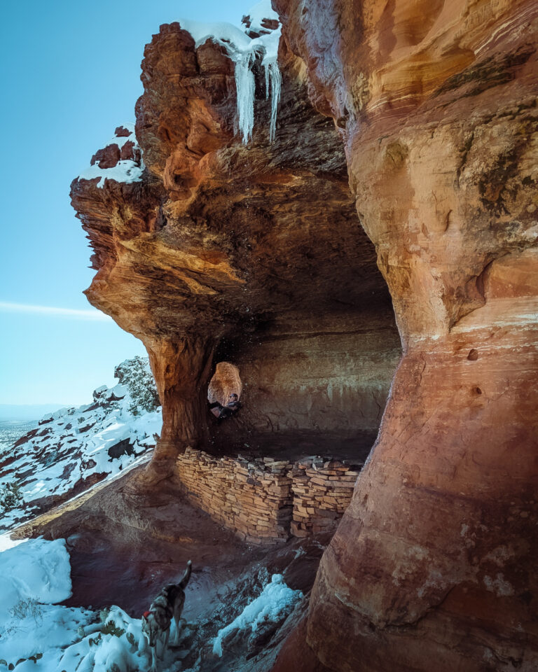
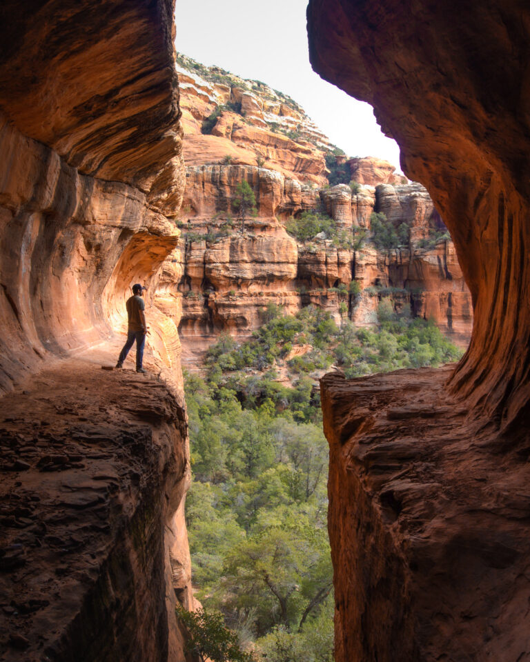
From the ground, the Subway cave just looks like a slit in the rocks, but climb up and you will start to see the ruins to the left. You will most likely share this cave with other people, because it is becoming more well-known. Please respect this area and Leave No Trace on all of your Sedona hikes and preserve the beauty of these ancient ruins for generations to come.
Other Sedona Hikes to Consider
Frequently Asked Questions Hiking in Sedona
What is the best time of year to visit sedona?
The best time to visit Sedona is from March to May when the temperatures are warm, but not HOT and the area is in full bloom. But you could easily do all of these hikes in the winter months, when Sedona is a lot cooler.
Is Sedona Worth the Trip?
With over 120 trails in Sedona, there is so much to explore! It’s an outdoor enthusiasts playground. No matter what you decide to do, you will have a memorable trip.
What to Pack on your Sedona Hiking Trail
- Bring a Water Bottle: Sedona is located in the desert and it can get sweltering hot with many of these trails getting little to no shade. It is recommended to bring at least half-litre of water for every 1 hour of hiking. We love to bring a Nalgene on our Sedona hikes!
- Wear Sunscreen + Hat: Getting sunburned is no fun. I wear sunscreen and a hat on all my hikes to make sure my skin is protected from the sun.
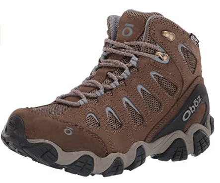
- Hiking Boots: Most of these hikes will require you to wear shoes with good grip. I love wearing my Oboz on all my Sedona hikes. They grip onto the rocks, giving me the ability to hike with peace of mind.
- First Aid Kit: Always carry first aid emergency supplies. You never know when you could slip and fall and need to mend a cut!
- Camera: You’ll definitely want to remember Sedonas epic scenery. Check out the camera we currently use on all our hikes.
- Snacks: Bring along an apple or cliff bars to refuel!
- Backpack: Make sure you have a backpack to carry everything on this list on your Sedona Hike!
Be sure to be prepared on your hike and check out our Day Hiking Packing Guide. With a full list of everything you should carry in a day pack!
Best Place to Stay in Sedona for Hiking
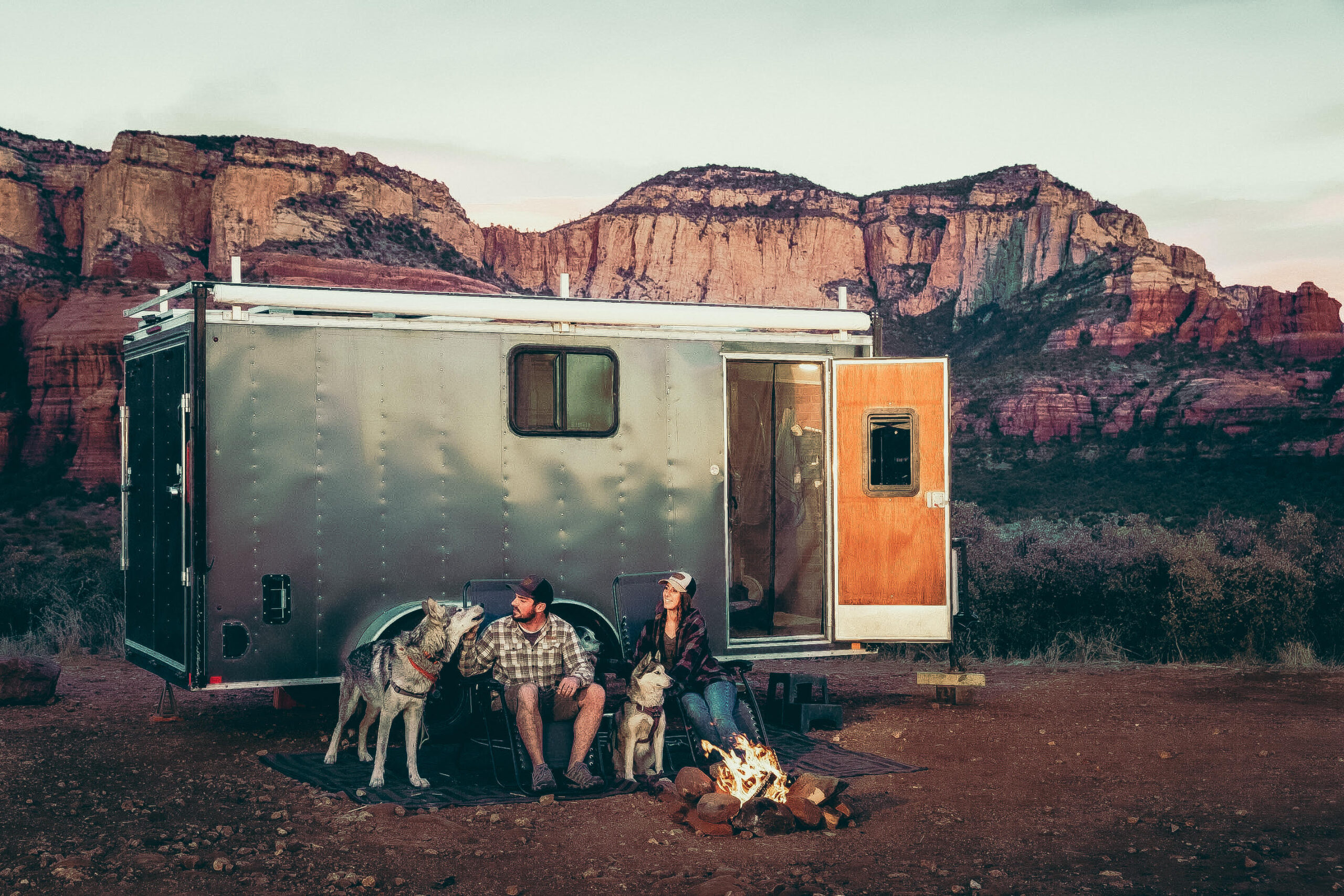
One of the reasons we love Sedona so much is because there are a ton of beautiful (and free) places to camp in the area. Most of it is located between Sedona and Cottonwood down Forest Service Rd 525. You can camp down this road for 14 days.
The way we find RV boondocking sites is through a website called Campendium.com that provides locations to free and paid RV campsites as well as places to dump your black and grey tank with a little (poo) symbol.
Check out our guide about How We Find RV Camping For FREE and then read our Complete Guide to RV Boondocking for everything you need to know about camping in your RV without amenities.
Rent an RV for your Hiking Trip to Sedona
We recommend Weelerz for RV rentals. Navigating the website is easy, and it helps you find the best deals on RV rentals in the US. Just enter the destination you want to visit, add the dates and Weelerz will compare all prices saving you time and money!
Looking for More things to do In Sedona, Arizona?
Hiking isn’t the only thing to do in Sedona. Check out these other fun things to do in Sedona when you visit.
Go on a Pink Jeep Tour
Sedona Jeep Tours offer off-roading rides among Sedona’s red rocks. You’ll get to explore the region during a two hour ride that will have you driving through beautiful canyons and rocky areas!
Take a Helicopter Ride Above Sedona
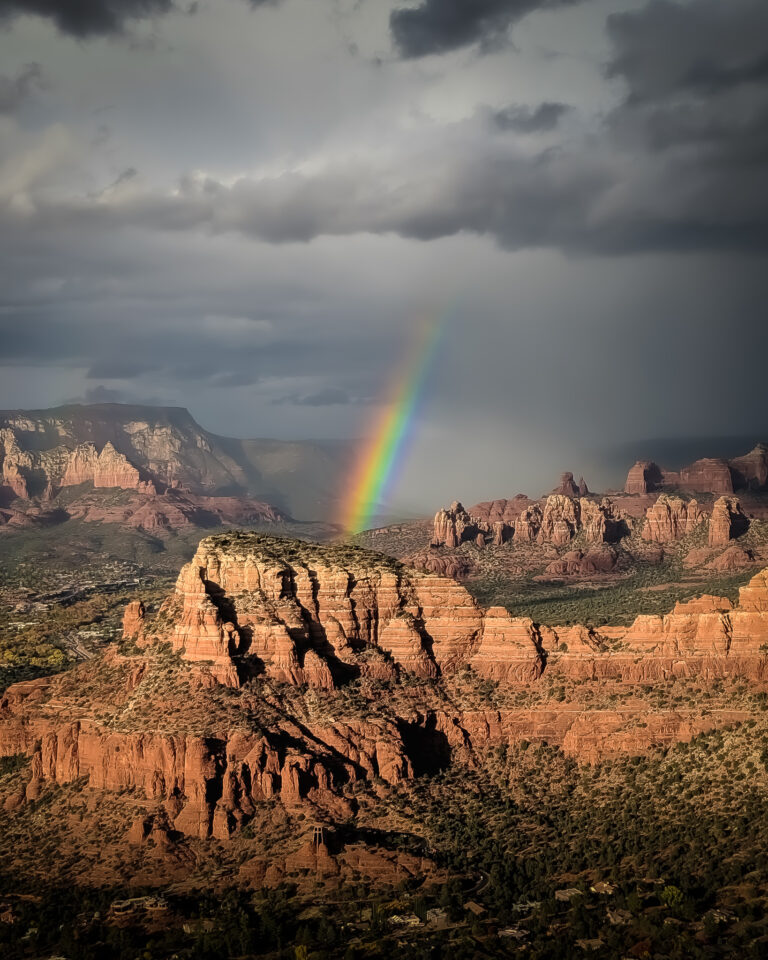
Soar over Sedona in a Helicopter Air Tour. See landmarks like Bell rock and Chapel of the holy cross from the air. You might even get lucky by seeing a rainbow from the air.
Morning Hot Air Balloon Ride over Sedona
Book a ride with Red Rock Balloons at sunrise, where you will float 3,000ft in the air over Sedona in a hot air balloon. Take in panoramic views of Sedona illuminated by the sun.
Sedona UFO and Star Gazing Tour
Do you want to have an out-of-this world experience? Discover the deep-space secrets of Sedona with a UFO and Star Gazing Tour. Get up close to aliens, planets, nebulae- all through your telescope! A tour with us will take anyone from inexperienced star gazers to the most seasoned amateur astronomers. Book a Sedona UFO and Star Gazing tour with a knowledgeable guide and learn about constellations, night sky lore, mythology as well as aliens. This is one of those experiences that can’t be found anywhere but in Sedona, Arizona!
Hiking Near Sedona Final Thoughts
So there you have it, the 5 Best Hiking Trails in Sedona. I hope this guide has helped you figure out exactly what hikes and other fun activities you want to do in Sedona when you visit.
What are your favorite hikes in Sedona? Which of these Sedona hikes are on your bucket list? Tell us in the comments below!
Check out our Hiking Safety Guide for more info on how to be prepared and stay safe on your hikes!






Thanks for all the GREAT info!
We’re so glad you found it helpful!